Winter Storm Diego will spread a widespread mess of snow, sleet and freezing rain from the southern Plains to the Ozarks and the southern Appalachians late this week into early next week.
From Friday into early next week, Diego will unleash its heaviest amounts of snow and ice as it moves farther eastward while interacting with cold air supplied by high pressure to its north. The snow and ice could cause significant travel disruptions from parts of the southern Plains to the southern Appalachians. Ice accumulations in some areas may be heavy enough for tree damage and power outages as well.
Winter storm watches have been issued by the National Weather Service from parts of the Texas Panhandle to western and central Oklahoma. Those watches include Amarillo, Texas, Lubbock, Texas, and Oklahoma City, Oklahoma. Additional winter storm watches will likely be issued farther east along the path of Diego in the next day or two.
(From the National Weather Service.)
We are still a couple of days away from this system arriving in the Plains and East, so some of the key forecast details remain uncertain, but the odds continue to increase for a major winter storm.
Winter Storm Diego Timing
Through Thursday
– Snow will fall in southern portions of California’s Sierra Nevada into early Thursday. Travel could be impacted in some of the passes in the region.
– Rain will soak the lower elevations of southern California and extreme northwestern Mexico.
– Parts of the Four Corners region could then be dealing with snow from this system Thursday and Thursday night.

Friday-Friday Night
– Freezing rain will begin to develop from the Texas Panhandle into central Oklahoma. The ice accumulations in this swath could be damaging to power lines and trees.
– By later Friday or Friday night, widespread snow will develop from eastern New Mexico into the northern Texas Panhandle, northwestern Oklahoma and southern Kansas.
– Snow, sleet and freezing rain may spread as far east as southern Missouri and northern Arkansas by Friday night.
– Rain, heavy at times, is expected farther south across Texas, Louisiana, southern Arkansas, northern Mississippi, southwestern Tennessee and northwestern Alabama.
– Travel will likely be affected by wet and/or wintry weather on stretches of interstates 40 and 35 in the southern Plains.
(The green shadings depict where rain is possible. Areas that are shaded blue could see snow. Purple-shaded locations may see a mix of snow and rain. Areas in pink may see sleet or freezing rain (ice).)
Saturday-Saturday Night
– Freezing rain is expected to transition to accumulating snow in eastern New Mexico, the Texas Panhandle and much of western and central Oklahoma. Snow will continue in southern Kansas as well.
– Snow, sleet and freezing rain will also impact the Ozarks of southern Missouri (mainly snow) and northern Arkansas (mixture of snow and ice).
– The snow and ice will also begin to spread into parts of the Ohio Valley, the southern Appalachians and its adjacent Piedmont region by later Saturday or Saturday night.
– There is the potential for wintry travel with snow or ice as far south as northeastern Georgia and the Interstate 85 corridor in the Carolinas by Saturday night.

(The green shadings depict where rain is possible. Areas that are shaded blue could see snow. Purple-shaded locations may see a mix of snow and rain. Areas in pink may see sleet or freezing rain (ice).)
Sunday-Sunday Night
– Snow, heavy at times, will affect the southern half of the Appalachians, including far upstate South Carolina, western and central North Carolina, western and central Virginia and southern and eastern West Virginia.
– Significant ice or snow could impact parts of the adjacent foothills and Piedmont region as well.
– Snow or rain mixed with snow could reach into the mid-Atlantic region as far north as the Delmarva Peninsula.
– Farther west, snow or a mix of rain and snow may continue from the Ohio Valley into the mid-South region.
– Strong onshore winds may contribute to pounding surf, beach erosion and possible coastal flooding from the southern mid-Atlantic coast to the Outer Banks of North Carolina, including the Delmarva Peninsula and the Virginia Tidewater.
(The green shadings depict where rain is possible. Areas that are shaded blue could see snow. Purple-shaded locations may see a mix of snow and rain. Areas in pink may see sleet or freezing rain (ice).)
Monday
– Strengthening low pressure off the Southeast coast may allow snow or a rain-and-snow mix to linger from the southern Appalachians and adjacent Piedmont into the Tennessee Valley.
– We will continue to monitor the storm for any potential turn toward the northeastern United States early next week. As of right now, the majority of forecast guidance suggests the low will stay far enough offshore to prevent major impacts in the Northeast. Changes to this portion of the forecast are possible, however.
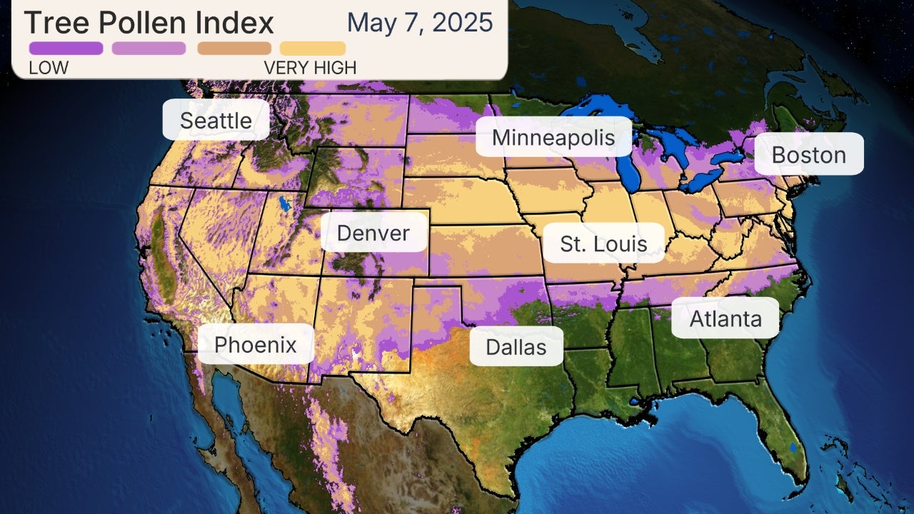
(The green shadings depict where rain is possible. Areas that are shaded blue could see snow. Purple-shaded locations may see a mix of snow and rain. Areas in pink may see sleet or freezing rain (ice).)
How Much Snow and Ice?
Snow and ice accumulations from this storm will be expansive, extending from the southern Plains to the Ozarks, Ohio Valley and the southern half of the Appalachian Mountains.
Here’s an initial look at what to expect in each region, keeping in mind it’s subject to change.
Southern Plains
– Snow totals in the southern Plains are forecast to be generally less than 6 inches in the Texas Panhandle, eastern New Mexico, western, central and northern Oklahoma and southern Kansas. Localized amounts could top a half-foot in the northern Texas Panhandle and northwestern Oklahoma.
– Significant icing, potentially causing tree damage and triggering power outages, is also possible from southern parts of the Texas Panhandle into central Oklahoma. This may include Lubbock, Texas, and Oklahoma City, Oklahoma.
Ozarks, Ohio Valley and Appalachians
– Although it’s too early for specifics, accumulating snow and ice are possible from southern Missouri and northern Arkansas into the Ohio Valley, southern Appalachians and the adjacent Piedmont.
– Some of the heaviest snow accumulations from Winter Storm Diego will be in the southern half of the Appalachians, including western North Carolina, western Virginia and eastern West Virginia. Totals topping a half-foot or even a foot are likely in this region.
– Significant ice and snow accumulations could also impact the adjacent foothills and Piedmont, but it’s too early for specifics.
– Travel disruption is likely, and there could be power outages and tree damage in areas where snow and ice accumulations are heaviest.
(While it is too far out in time to specify exact forecast snowfall totals, areas in the purple and pink contours have the highest chance at heavy snowfall from Winter Storm Diego.)


