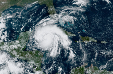
While rivers are already rising, a new storm will further heighten the risk for flooding and severe weather across the lower Mississippi and Tennessee valleys around the middle of the week.
While interior areas of the Southeast will get a dry break at the beginning of the week, more wet weather will quickly return by midweek.

The same storm set to bring disruptive snow and ice to the Central states, as well as the mid-Atlantic and New England is expected to spread soaking rain and thunderstorms across the Southeast Tuesday into Wednesday.
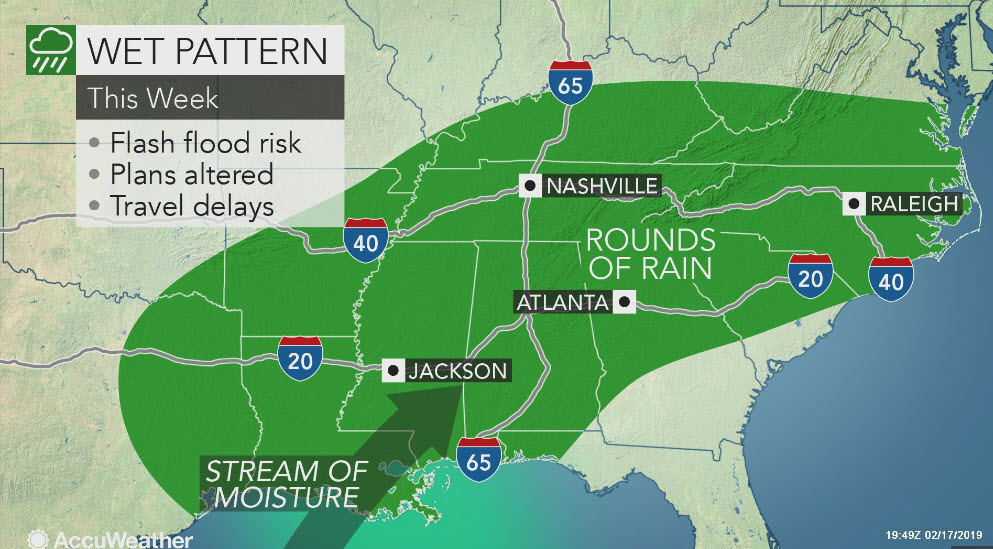
The heaviest rain on these days may target the lower Mississippi and Tennessee valleys with some rain spilling into the Carolinas.

AccuWeather meteorologists are concerned that repeated downpours can unload more than 6 inches of rain across a large swath in northern Mississippi, northern Alabama, Tennessee and areas surrounding these states.
There can be an AccuWeather Local StormMax™ of 10 inches in this corridor.

With the ground already saturated, this rain can easily trigger flooding in low-lying and poor drainage areas. Swollen streams and rivers can be brought out of their banks, flooding neighboring roads and communities.
Road closures and evacuations may occur in the hardest-hit areas.
Minor to moderate flooding continues along the lower Mississippi and Ohio rivers, as well as the western Tennessee River. The impending heavy rain can further push these rivers out of their banks, even well after the midweek storm has departed.
In addition to the flood danger, there is concern that this storm will produce a line of severe thunderstorms.

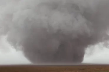
“The strongest thunderstorms that develop later Tuesday into Wednesday will be capable of producing damaging winds, heavy rain and brief, short-lived tornadoes,” according to AccuWeather Storm Warning Meteorologist Richard Schraeger.
The risk for the severe thunderstorms may first unfold across far southeastern Texas, Louisiana and Mississippi later Tuesday into Tuesday night.
“These thunderstorms will decay on Wednesday morning and set the table for additional thunderstorm development on Wednesday afternoon across Mississippi and Alabama,” Schraeger said.
RELATED:
AccuWeather 2019 US spring forecast
What you should do if you get stuck driving in floodwaters
The Great American Race: What weather to expect for Daytona 500 this Sunday
From rain to stifling heat: How different weather can affect NASCAR drivers
Even in the absence of flooding and severe thunderstorms across the Southeast, motorists planning to travel on stretches of interstates 10, 20, 22, 40, 55, 59, 65 and 85 can face slow downs and hazards.
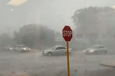
Downpours and spray from other vehicles can reduce visibility, while standing water heightens the risk of vehicles hydroplaning when traveling at highway speeds.
The risk for flooding will not end in the South with the departure of this storm.

Many of the same areas set to be soaked by the storm Tuesday into Wednesday can face more soaking rain later in the week and the weekend.
AccuWeather meteorologists will also be monitoring the potential for additional severe thunderstorms. Trees sitting in saturated soil are more susceptible to being downed by gusty thunderstorms, even when severe weather warnings are not issued.
Flooding problems may only mount with each bout of rain as the ground and rivers cannot handle the runoff.
Residents living in flood-prone areas are urged to remain vigilant of the flood danger and be ready to evacuate if ordered by officials. Motorists should never drive through flooded roads to avoid a potentially deadly situation.
Even before the midweek storm, many areas around the Tennessee and Ohio valleys were running rainfall surpluses so far this year. Nashville, Tennessee, has received nearly double the rainfall that typically falls from Jan. 1 to the middle of February.

Areas along the lower Mississippi River south of I-20 are actually drier than normal this February, but the river is at minor flood stage due to runoff from heavy rain and melting snow farther north draining downstream.

